Investment strategies are becoming increasingly data-driven, and traditional portfolio models rely heavily on historical market data, company reports, and economic indicators to estimate risk and return. However, the rise of satellite analytics is opening up new avenues for financial professionals to gain actionable insights that were previously inaccessible. By incorporating satellite-derived data into portfolio models, investors can enhance their understanding of market dynamics, improve risk assessment, and uncover opportunities that might otherwise go unnoticed.
The Value of Satellite Analytics in Finance
Satellite analytics involves collecting and analyzing data captured by satellites orbiting the Earth. These data points can include information about physical assets, environmental conditions, and economic activity. For instance, satellite imagery can monitor global supply chains, track commodity inventories, and assess real-time agricultural output. Such insights provide a complementary layer of information to conventional financial metrics, enabling investors to anticipate market shifts more accurately.
One of the most significant benefits of integrating satellite data is the enhancement of risk assessment. Traditional risk models often rely on delayed or aggregated data, which may fail to capture sudden changes in market conditions. Satellite analytics, by contrast, provides near real-time observations. For example, detecting unusual shipping patterns or declines in factory activity can serve as early indicators of potential supply chain disruptions, allowing portfolio managers to adjust their positions proactively.
Incorporating Satellite Data into Portfolio Models
Integrating satellite analytics into portfolio risk and return models requires both technical and analytical capabilities. Financial institutions need to develop frameworks that can translate raw satellite data into actionable metrics relevant to investment decisions. This might involve using machine learning algorithms to process imagery or integrating satellite-derived indicators, such as crop health or energy usage, directly into predictive models.
Once incorporated, these metrics can improve both alpha generation and risk management. For instance, investors in agricultural commodities can use satellite-based crop monitoring to forecast yields and adjust their positions ahead of market announcements. Similarly, energy sector investors can track production levels at oil fields or solar farms, enabling more informed forecasts of supply-driven price movements.
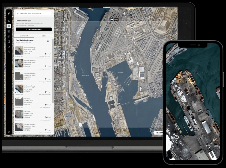
Moreover, financial institutions are increasingly seeking partnerships with providers of specialized data solutions. Companies offering financial services commercial satellite imagery allow investment teams to access curated, high-resolution datasets specifically tailored for market analysis. By leveraging these tools, portfolio managers can integrate satellite insights seamlessly into their risk and return models without needing to build complex satellite processing systems in-house.
Applications Across Asset Classes
The applications of satellite analytics are broad and span multiple asset classes. In equities, satellite imagery can help analysts monitor retail foot traffic, construction activity, and industrial production, providing a direct window into company performance. In commodities, real-time monitoring of crop conditions or inventory levels can enhance pricing models and improve hedging strategies. Even fixed-income markets benefit, as satellite data can inform macroeconomic indicators such as infrastructure development or shipping trends, which influence sovereign credit risk.
Challenges and Considerations
While the potential benefits are significant, integrating satellite analytics is not without challenges. Data quality, interpretation accuracy, and cost considerations must be carefully managed. Analysts need to validate satellite-derived metrics against traditional benchmarks to ensure reliability. Additionally, regulatory compliance and data privacy considerations may influence how satellite data can be used, particularly when monitoring company operations or sensitive infrastructure.
Leave a Reply